Liz
boosted

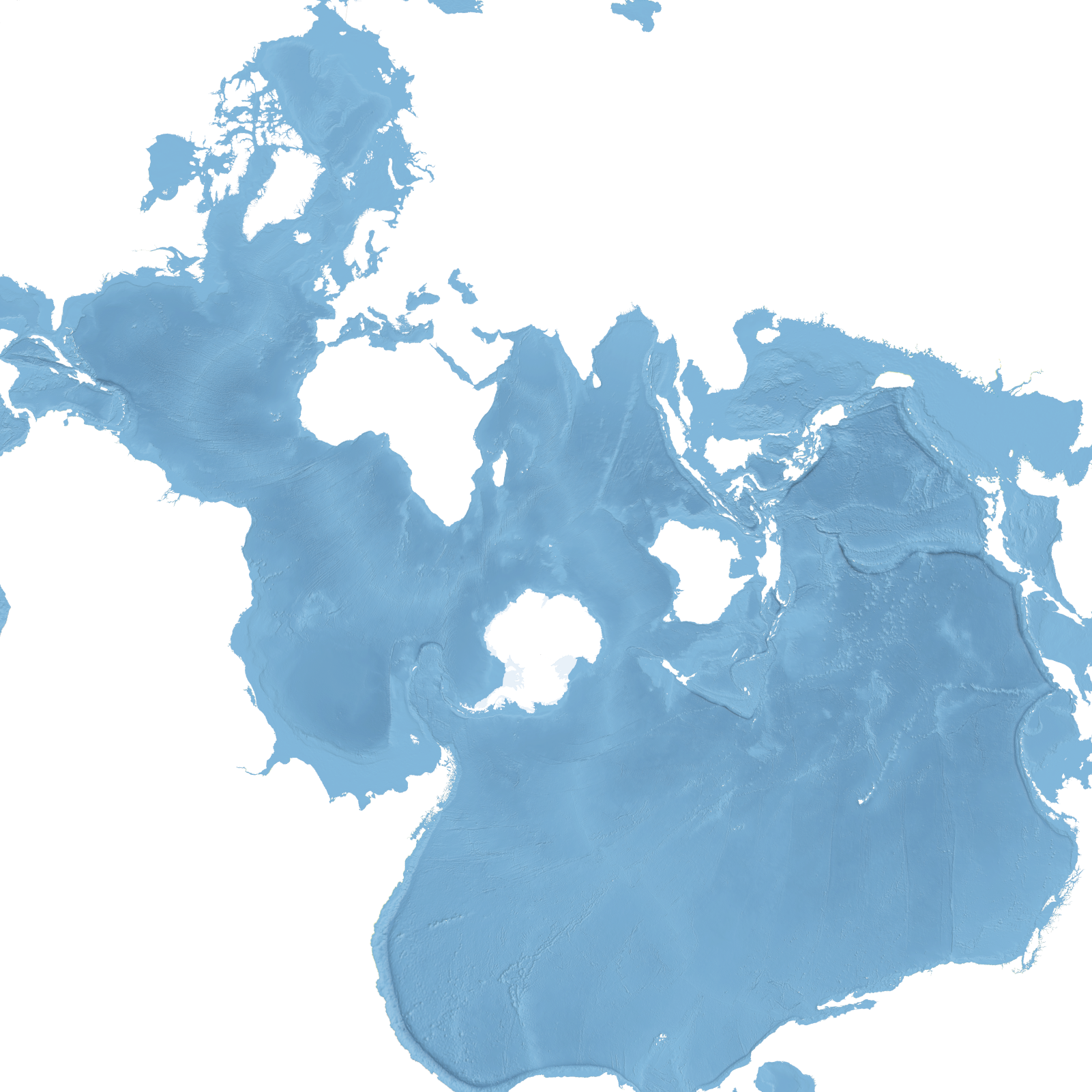
#30DayMapChallenge Day 20: Water
World map using the Spilhaus projection. The oceans form a single mass of water around Antarctica.