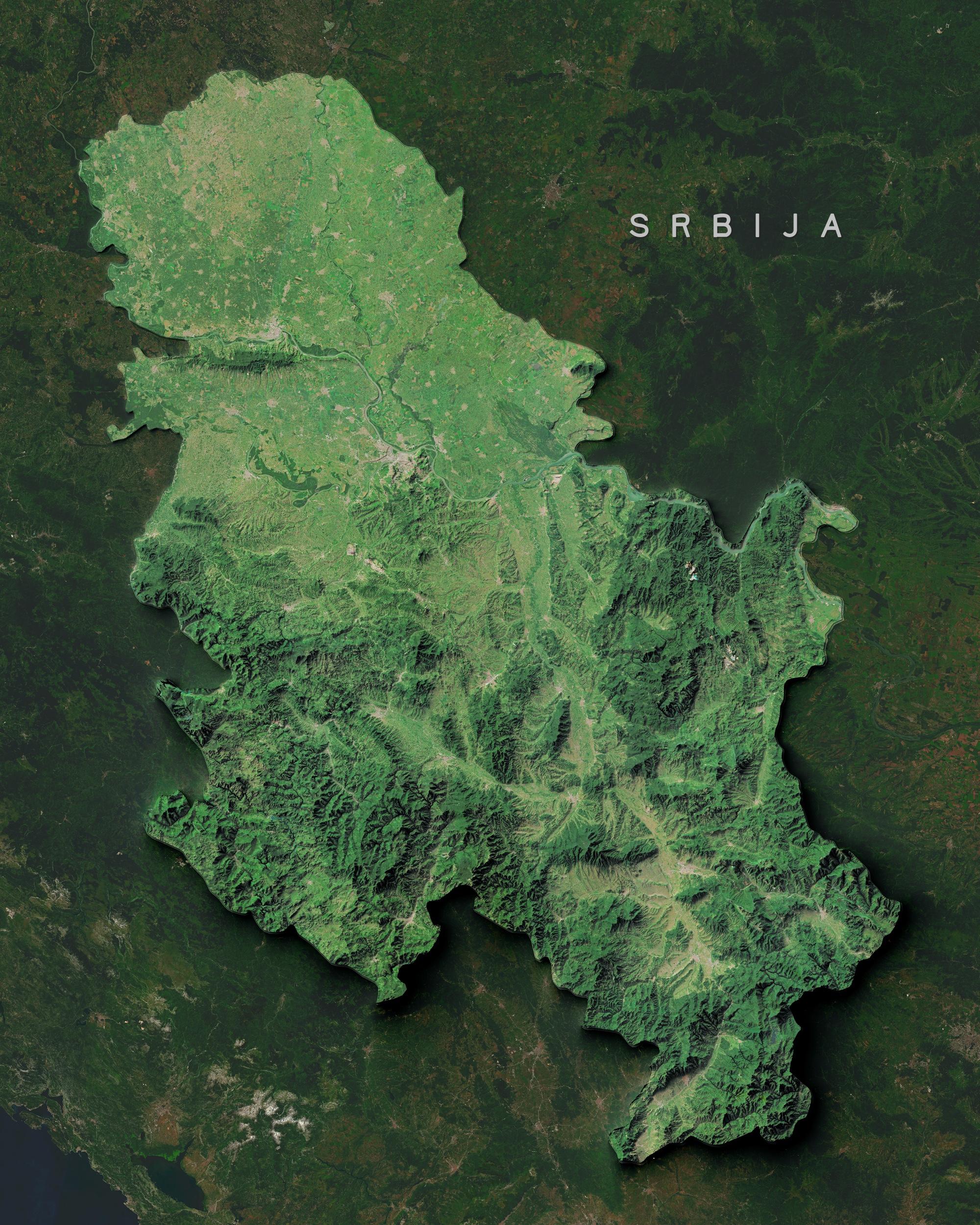
Satellite image of Serbia from space. The landlocked Balkan country appears in varying shades of green against the darker surrounding nations. The northern region features the flat, fertile Vojvodina plain, depicted in lighter greens, with visible agricultural patterns and the distinctive curves of rivers, including the Danube. The central portion displays more varied terrain, transitioning from plains to hills. The southern and eastern regions are dominated by mountain ranges, which appear as dark green areas with dramatic shadows that highlight the ridges and valleys. The Dinaric Alps are visible along the western border, while the Carpathian and Balkan mountain ranges extend through the eastern and southern portions. Multiple river valleys cut through the mountainous terrain, appearing as lighter green corridors.