Stiofán de Buitléir
boosted

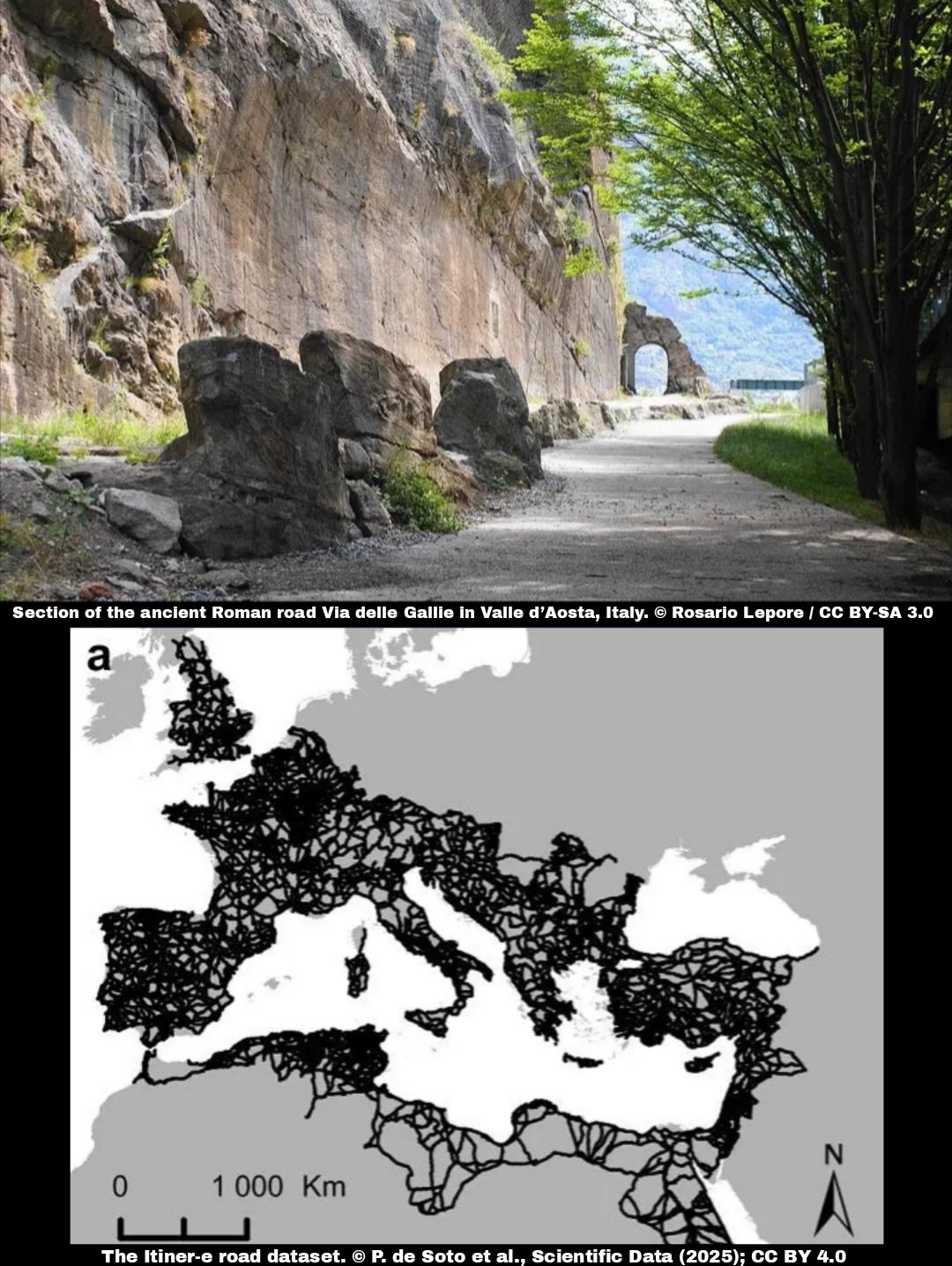
Roman roads reimagined: new digital map expands the empire’s network to nearly 300,000 km
A new high-resolution digital map of Roman roads, called Itiner-e, is providing the most detailed picture yet of the Empire’s vast transportation network as it existed around 150 CE. Published in Scientific Data, the dataset almost doubles the previously known length of roads, now totaling 299,171 kilometers...
More info: https://archaeologymag.com/2025/11/roman-roads-reimagined-new-digital-map/
Follow @archaeology